Powerful Storm Pattern Sweeps Across Central States
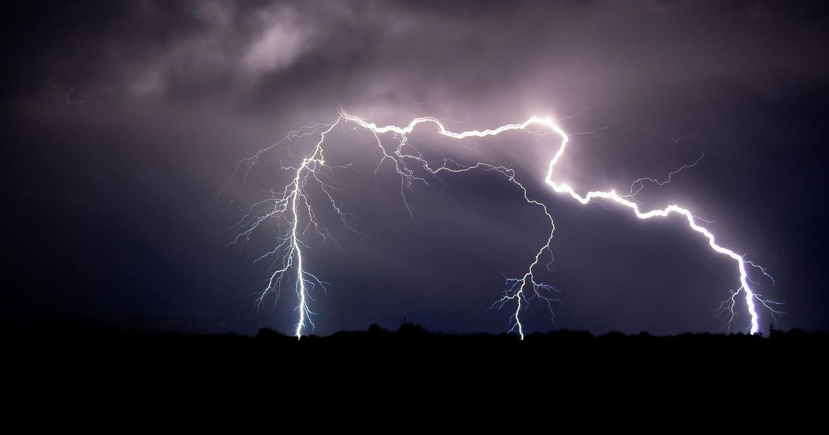
• A persistent storm system is fueling days of turbulent weather across the Central US, bringing hail, flooding rain, strong winds and possible tornadoes through midweek.
• The most intense storms are expected across the Dakotas, Tennessee Valley and parts of the Mississippi Valley.
• Forecasters say repeated downpours may cause dangerous flooding while nighttime severe storms could pose added risks.
Why It's Important?
This severe weather event poses a significant threat to the safety and well-being of millions of people living in the affected areas. The potential for tornadoes, especially at night, raises the risk of serious injuries and property damage. Flash flooding can inundate homes and businesses, making roads impassable and creating life-threatening situations. Strong winds can down trees and power lines, leading to widespread power outages. Farmers could see their crops damaged from hail and flooding. It is crucial for residents to stay updated on the latest weather forecasts and heed the warnings issued by local authorities to protect themselves and their families.
Related News