New Lava Risk Maps Identify High-Risk Areas in Southwest Iceland
• New lava risk maps identify Grindavík and Hveragerði as high-risk areas in Southwest Iceland.
• The assessment, based on geological data and simulations, aids long-term planning for volcanic events.
• Key infrastructure sites, including geothermal plants, are identified as being at risk.
Iceland unveils lava risk maps for volcanic areas
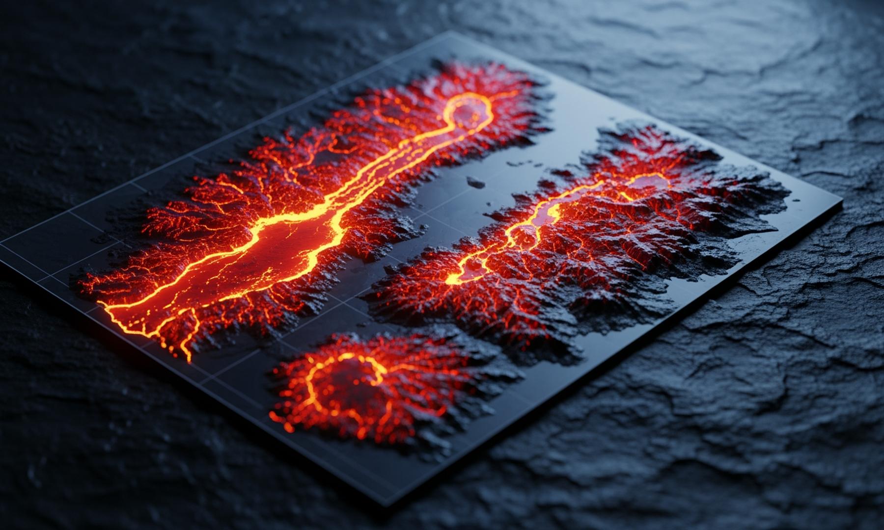
The Icelandic Meteorological Office has unveiled new lava risk maps, pinpointing high-risk zones in Southwest Iceland susceptible to volcanic eruptions and lava flows. Grindavík and Hveragerði are classified as high-risk areas, with Grindavík uniquely vulnerable to both eruptions and lava flows. The assessment spans regions from Reykjanestá to Ölfusá and extends north to Hvalfjörður, highlighting the potential risk to critical infrastructure such as geothermal power plants and water sources. These findings are rooted in extensive geological data and 47,000 simulations, designed to support long-term planning and risk mitigation rather than predicting specific events.
Related News