Redlands, CA Enhances Wildfire Preparedness with New Technologies
• Redlands is enhancing wildfire preparedness with increased land treatment, aiming to reduce potential fire fuels from 63 acres in 2025 to 80 acres this year.
• The Redlands Fire Department is using Esri mapping tools to identify high-risk areas and track progress in vegetation management.
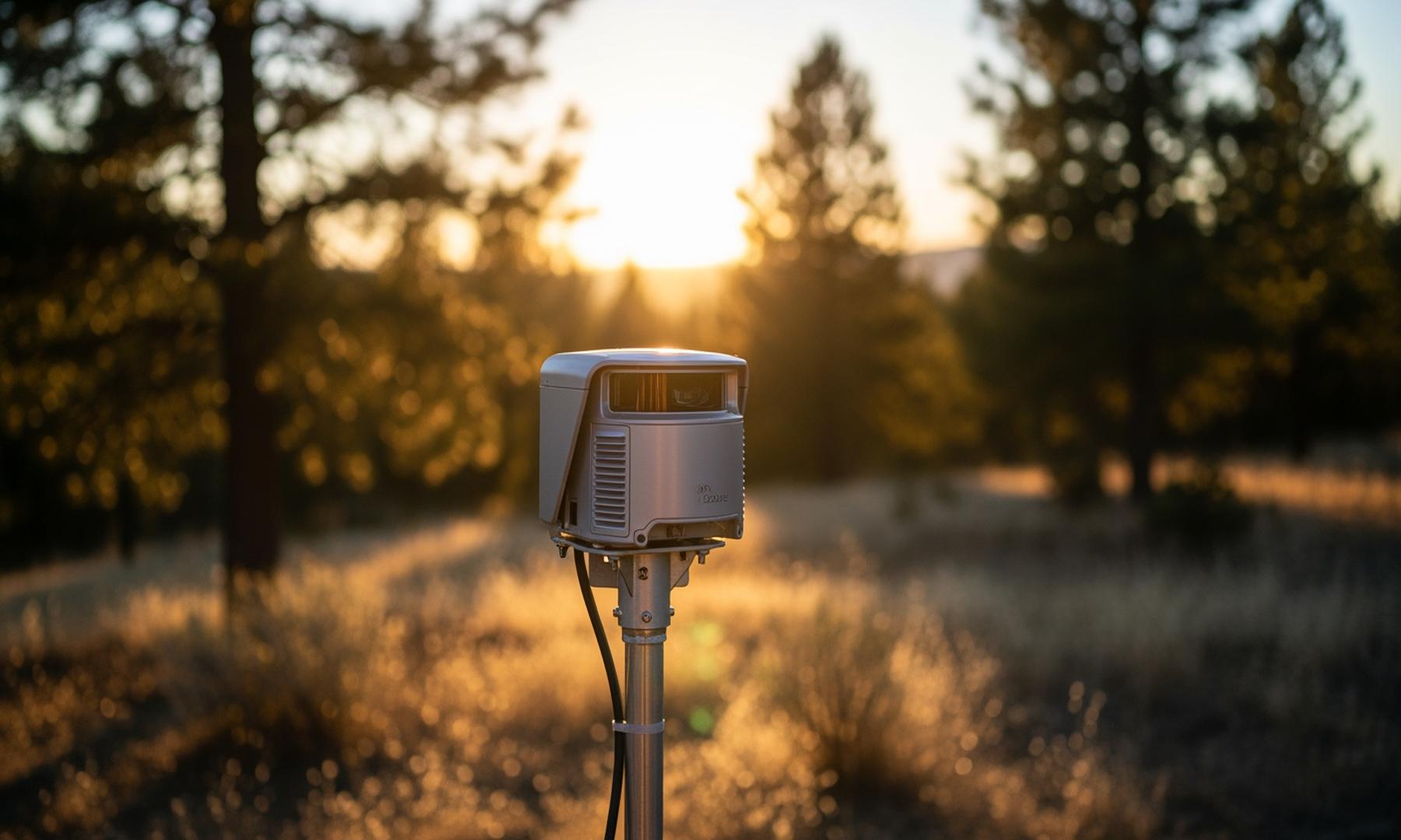
• Strategic installation of surveillance cameras in fire-prone areas and community education initiatives by the Redlands Conservancy are key components of the enhanced wildfire preparedness strategy.
Redlands enhances wildfire preparedness through tech, engagement
Redlands, California is proactively enhancing its wildfire preparedness through a combination of technological advancements and community engagement. The Redlands Fire Department, in collaboration with the Redlands Conservancy, is focused on reducing vegetation that could serve as fuel for wildfires, increasing their land treatment efforts to 80 acres this year. Advanced mapping tools from Esri are being utilized to identify high-risk areas and track progress in fuel reduction, ensuring resources are allocated efficiently to the most vulnerable zones within the community.
Related News