Supercell Potential: Severe Weather Threat in the Midwest
• Supercell thunderstorms are developing in the Midwest, potentially leading to severe weather.
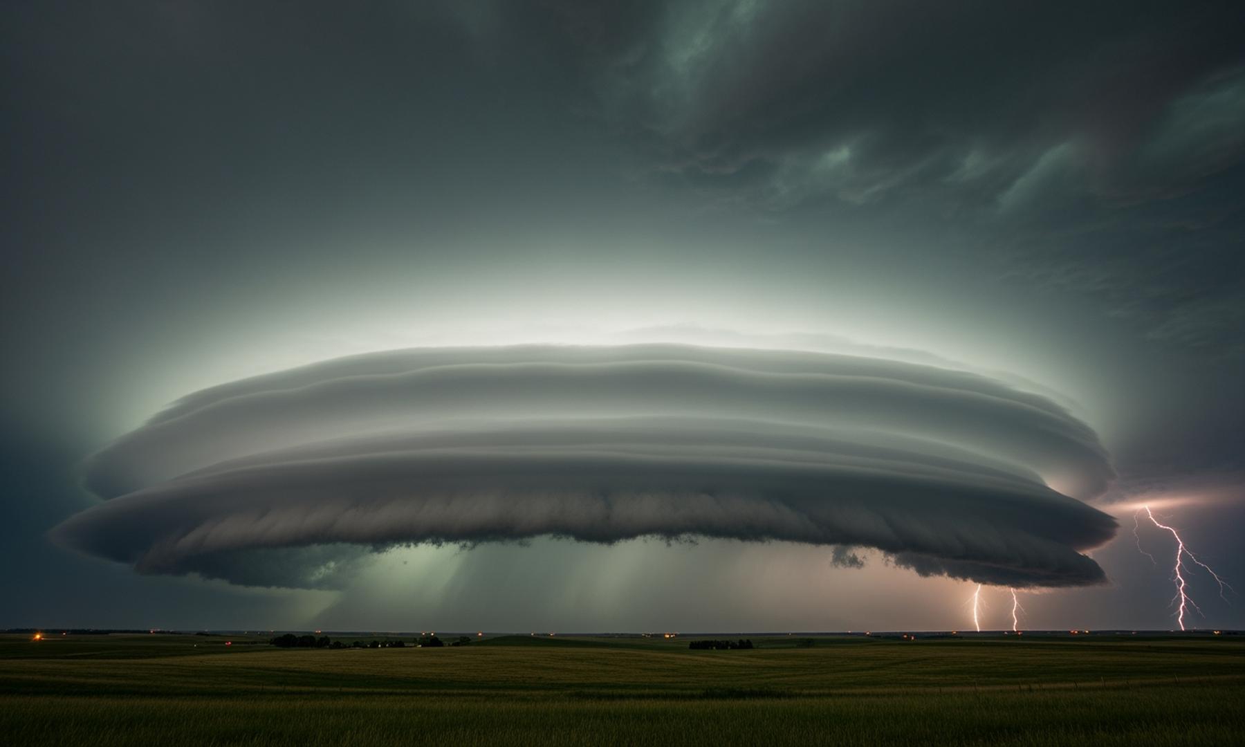
• These storms are characterized by rotating updrafts (mesocyclones) and can produce large hail, damaging winds, and tornadoes.
• Residents are advised to stay informed, have a safety plan, and monitor weather alerts from the National Weather Service.
Midwest faces potential supercell thunderstorm development
Meteorologists are closely monitoring the development of supercell thunderstorms across the Midwest, which could lead to severe weather conditions. Supercells are characterized by a rotating updraft, known as a mesocyclone, and are capable of producing severe weather phenomena such as large hail, damaging winds, and tornadoes. The National Weather Service notes that atmospheric conditions are favorable for these storms, with warm, moist air at the surface and cooler, drier air aloft creating instability, along with strong wind shear contributing to rotation.
Related News